A connected digital framework for the physical world
Government & Public-Sector Collaboration
An invitation to explore how a shared digital geographic reference framework could support clearer connections between locations, land-related information and public services.
An opportunity to explore together
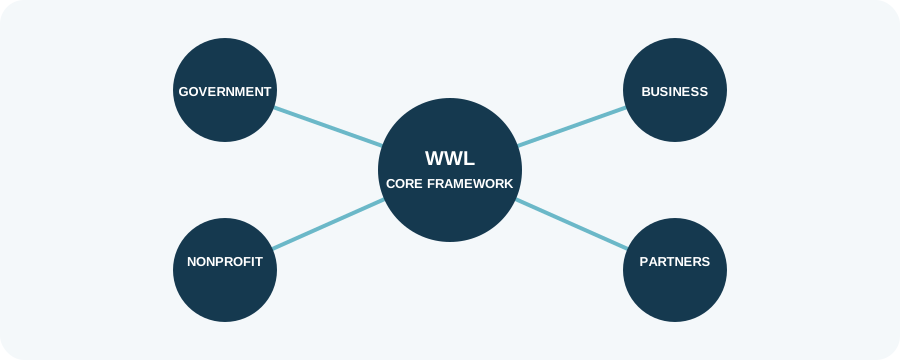
Worldwide Land welcomes discussion with government agencies, land administration bodies, municipalities and other public institutions interested in interoperability, digital service delivery and structured geographic information.
Potential areas for exploration may include pilot projects, information exchange, service integration and ways to connect WWL references with information provided or confirmed by the relevant authorities.
A collaborative starting point
Each engagement would begin with a conversation about local priorities, institutional requirements, data governance and practical objectives. Any proposed pilot or integration would be defined jointly and subject to the relevant approvals.
This page is an introduction to potential collaboration, not a request to disclose sensitive systems, datasets or procurement information.
Start a conversation
Public-sector organisations are welcome to enquire about an introductory discussion or exploratory pilot.